Kitzbüheler Horn: 7 km at 12.5%, with no rest at all
The Moveee team
Free coaching · a real route for every ride
The Kitzbüheler Horn is short, and it is brutally steep. From the edge of Kitzbühel a toll road climbs to the Alpenhaus at 1,666 m, and Kitzbühel Tourism describes it as the steepest bike mountain in Austria: 7.1 km at an average of 12.5%, reaching 22.3%. Professional riders know it as a stage finish of the Tour of Austria. Here is how it is built, how to get up it without blowing up, and how to train for it on your trainer.
The climb
Kitzbühel Tourism's tour gives the landmarks: the first toll gate at 1,013 m, the Goinger Alm at 1,424 m and the Alpenhaus at 1,666 m, with 18 curves along the way. Our track is 10.2 km because it starts in the town and includes the flat run to the foot of the climb; the climb proper begins after about 2 km.
- To the toll gate. The road starts steeply and gets steeper. On our track the first climbing kilometres go 5.7%, then 9.7%, and by the time you reach the toll gate at 1,013 m you are already into double figures. Kitzbühel Tourism says the first real ramp comes straight after the toll gate.
- Toll gate to the Goinger Alm: the long middle. Between about 4 and 8 km our track never drops below 11.7% for a kilometre. There is no false flat, no hairpin to rest in. Kitzbühel Tourism's advice is to save your strength until the Goinger Alm, because that is where the decisive part begins.
- The Goinger Alm to the Alpenhaus: the crux. From the Goinger Alm at 1,424 m the tour gives a constant 16% to 22.3% for a kilometre, the steepest part of the whole climb. After it, the road eases only in the last few hundred metres to the Alpenhaus.
How to pace it
The record, according to Kitzbühel Tourism, belongs to Thomas Rohregger: 28 minutes 24 seconds, on a 39×27. His summary was that there are practically no rest opportunities. For most amateurs the climb takes between 45 minutes and an hour and a half, and every one of those minutes is steep.
- Gear as low as you can. At 12–14% for kilometres and over 20% near the top, this is not a climb for a standard compact. A 34×34 or lower, or a mountain-bike-style cassette, is not overkill. Gearing for climbing explains what ratio you need.
- Start well below your limit. On a climb this steep, even an easy pace is a hard effort. Ride the first half 10% below what you think you can hold, and keep something for the kilometre above the Goinger Alm.
- Mix seated and standing. Sitting saves energy; standing helps you keep the pedals turning on the steepest ramps. Change position every few minutes to spread the load. See seated vs standing and climbing out of the saddle.
- Mind the descent. You come down the same steep road. Keep your speed low from the start, brake before the bends, and stop to let the rims or discs cool if they get hot. Descending faster and safer covers the technique.
Why the pros respect it
The Alpenhaus has been a stage finish of the Tour of Austria for many years, and the Kitzbüheler Alpen tourism board says many professionals have said they would rather climb the Grossglockner than the Horn. Rohregger called it "the Streif of cycle sport", and on the way up the tour passes the original start of the Kitzbüheler Horn mountain-bike race, at 791 m.
When to go, and what to watch for
- The toll road. According to Tirol Werbung, the panorama road to the Alpenhaus is a 7.5 km toll road with gradients up to 22%, and it is open to cars and motorbikes, so expect some traffic on the way up and down.
- Season. The road leads to a mountain inn at almost 1,700 m, so it is a summer climb. Check the Alpenhaus and the toll road's status before you go in spring or autumn.
- Kit. Kitzbühel Tourism recommends a helmet, weather-appropriate clothing, a light wind jacket, sun cream and enough to drink. Take the jacket for the descent.
- Make a day of it. Kitzbüheler Alpen tourism's tour from Brixen im Thale reaches the foot of the Horn on the Brixental cycle path, 21.6 km in all. If you want a bigger day, the Grossglockner is within reach; our Grossglockner guide covers it.
Ride it in Moveee Indoor
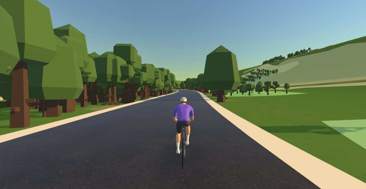
The route on this page is the real road from Kitzbühel to the Alpenhaus, with its height at every point. In Moveee Indoor your smart trainer reproduces that gradient as you ride, so you feel the toll-gate ramp and the kilometre above the Goinger Alm exactly where they are. The world around you is built from map data of the real place. Above all, riding it indoors first tells you whether your gearing is low enough, which is much better to find out at home than at 20% on the mountain.
Ride it once to find your gear and your pace, and again a few weeks later to see if you can hold more power above the Goinger Alm. Your rides are saved with their power data, so you can compare them section by section. Prefer your own device? Download the GPX above and load it into any app that rides GPX files.
The short version
7.1 km at an average of 12.5% to the Alpenhaus at 1,666 m, with a kilometre of 16–22.3% above the Goinger Alm. Fit your lowest gears, start far below your limit and save something for the top. Take a jacket for the steep descent, and ride it on your trainer first to make sure your gearing is up to it.
Sources 3
Where this article summarises a study, the study itself is linked — not a write-up of it.
- 1 Kitzbühel Tourismus Kitzbüheler Horn, road bike tour no. 4 · kitzbuehel.com · 2026
- 2 Kitzbüheler Alpen The Kitzbüheler Horn (Brixental) · kitzbueheler-alpen.com · 2026
- 3 Tirol Werbung Panoramastraße zum Kitzbüheler Horn · tirol.at · 2026
Ride Kitzbüheler Horn on your trainer
10.2 km and 937 m of the real road in Moveee Indoor — every hairpin and gradient as it is. Make a free account and the climb is waiting.
Ride Kitzbüheler Horn in Moveee IndoorKeep reading

Mortirolo from Mazzo: 12 km at 10.5% and no easy kilometre
Pantani's climb, with ramps of 20% in the woods above the Valtellina. How it is built, the gearing you need, how to ride to a ceiling rather than a target, and the GPX to rehearse it on your trainer.

Col de la Madeleine from La Chambre: 19 km at 8% with nowhere to rest
The Maurienne side of the Madeleine, with its steepest kilometres at the start: how it is built, how to pace it, its Tour history since 1969, and when the pass is open.

Sveta Gora from Solkan: a short climb to the Holy Mountain
The climb from the Soča to the basilica above Nova Gorica: how its two parts ride, how to use it as a benchmark, and five centuries of history at the top.

Zoncolan from Ovaro: six kilometres at 15% and how to survive them
10 km and 1,200 m to the top of the Kaiser, with a central section that never drops below 15%. Gearing, cadence and pacing for one of the hardest climbs in Europe, and the GPX to ride it on your trainer first.

Col d'Aubisque from Laruns: an easy start and 10 hard kilometres
The Aubisque from Laruns section by section, from the forest road to Eaux-Bonnes to the 8.5% climb past Gourette, with pacing, gearing, the car-free morning and the season.

Passo Giau: 29 hairpins and 10 km that never let up
From Selva di Cadore to 2,236 m at more than 9% almost the whole way. How the forest and the slopes above Rifugio Fedare ride, how to pace an hour at threshold, the Giau–Falzarego loop and the GPX.

Kum by bike: 8.6 km at 11% to the top of Zasavje
The climb from the Sava to the highest peak in Zasavje, kilometre by kilometre: how to gear and pace an hour at 11%, and what to expect from the gravel at the top.

Col d'Izoard from Briançon: an easy valley, then 7 km at 8%
The north side of the Izoard kilometre post by kilometre post, how to pace a climb that saves its work for the end, and why you should ride over the top to the Casse Déserte.

Stelvio from Prato: 48 hairpins, 25 km, and how to pace them
The longest sustained climb most riders will ever do. How the valley, the forest and the wall above Franzenshöhe ride, how to pace two hours of it — and the GPX to ride it on your trainer first.

Passo Fedaia: the straight above Malga Ciapela, under the Marmolada
Nine easy kilometres from Caprile, then five of the hardest in the Dolomites, starting with a 3 km straight at 12%. How to arrive fresh and ride it under your limit, the Giro's history, and the GPX.

Pavličevo sedlo and Jezersko: two borders in one ride
Over Pavličevo sedlo at 1,339 m into Austria and back over the Seebergsattel to Jezersko. Which way round, how long, and the 2 April to 3 November closure that decides whether it is possible.

A free app for Elite smart trainers (in your browser)
Own an Elite Suito, Direto or Justo? You don't need a subscription to ride it properly. Here's a free app for Elite smart trainers that runs in your browser — FE-C/FTMS control, ERG intervals, real 3D roads and a Strava upload.