How to ride your Strava routes indoors on a smart trainer
The Moveee team
Free coaching · a real route for every ride
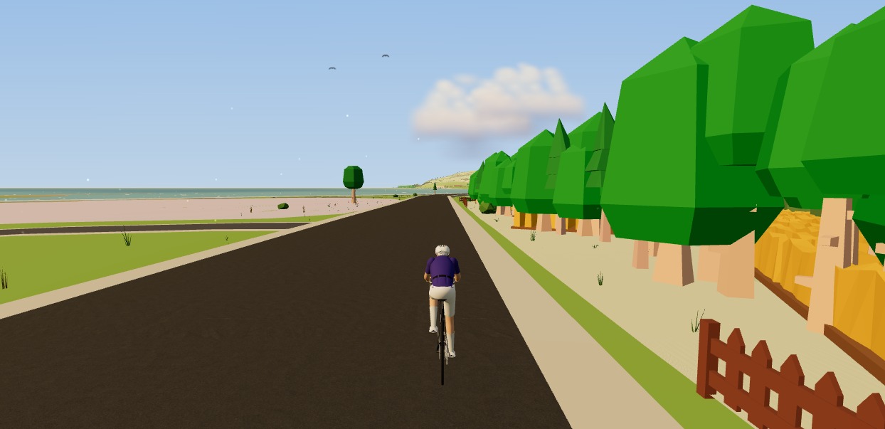
Here's a thing more riders should know: that summer loop you love on Strava is, underneath, just a GPX file — a list of points and elevations. And anything that's a GPX file, you can ride indoors. So when the weather turns, you don't have to trade your favourite roads for a fictional island. You can ride your Strava routes indoors on a smart trainer, in 3D, with the real gradients pushing back through the pedals.
Why ride your own routes indoors?
- Motivation. An hour is far easier to face when it's a road you know and love, not a grey wall.
- Course recon. Entered an event? Ride its exact route indoors, corner by corner, weeks before the start.
- Specificity. Training for a hilly sportive? Ride the actual climbs, at the actual gradients, in your pain cave.
- Memory lane. Ride a holiday route again in January. It holds up surprisingly well.
How to do it, step by step
Export the route as GPX
On Strava, open any route (or a saved activity's route) and choose Export GPX. That file is the ride.
Open a browser app that reads it
Chrome or Edge on Mac, Windows, Linux or Android. Nothing to install.
Load the GPX and pair your trainer
The app rebuilds the route in 3D from map and elevation data, then connects your smart trainer over Bluetooth.
Ride it — with real gradients
Every climb and descent on the route drives your trainer's resistance. It's the road, not a random workout.
The bit that makes it feel real: gradient-linked resistance
Riding a route indoors is only worth it if the trainer responds to it. When the route kicks up to 8%, a smart trainer in simulation mode should get genuinely harder; over the top, it should ease and let you spin. That's what turns a GPX file from a line on a map into a ride you feel in your legs — and it's what separates riding your route from just doing a generic workout while a video plays.
Doing it for free, with nothing to install
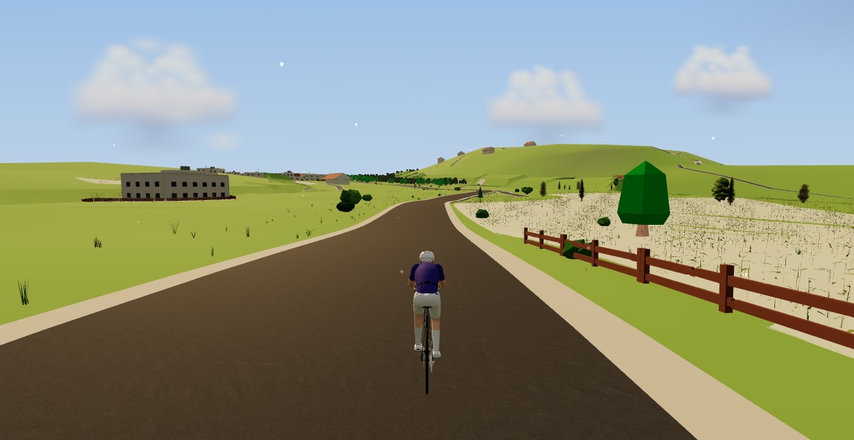
This is precisely what Moveee Indoor is built for. Draw or import a route, and it rebuilds it in 3D from real OpenStreetMap and elevation data — the actual streets, buildings and climbs — then drives your smart trainer's resistance from the real gradient as you ride. It runs entirely in the browser, so there's nothing to install, it's free while in alpha, and the ride saves with full power data straight into your Moveee training log (and on to Strava).
Your favourite roads don't have to hibernate for the winter. Export the GPX, load it up, and ride them from the pain cave.
Sources 7
Where this article summarises a study, the study itself is linked — not a write-up of it.
- 1 How do I export my Strava data? (Export GPX from an activity) · Strava Support · 2025
- 2 GPX: the GPS Exchange Format (GPX 1.1 schema) · TopoGrafix · 2004
- 3 About OpenStreetMap · OpenStreetMap Foundation · 2025
- 4 Copernicus DEM — Global and European Digital Elevation Model · Copernicus Data Space Ecosystem (ESA / European Union) · 2024
- 5 Fitness Machine Service 1.0 (FTMS) specification · Bluetooth SIG · 2017
- 6 Web Bluetooth (Draft Community Group Report) · W3C Web Bluetooth Community Group · 2025
- 7 Mieras ME, Heesch MWS, Slivka DR Physiological and psychological responses to outdoor vs. laboratory cycling · Journal of Strength and Conditioning Research · 2014
Your own roads, indoors, in a browser tab
Moveee Indoor pairs your smart trainer over Bluetooth and rebuilds a route you have saved as a 3D road — real gradients, ERG for the intervals, and the ride saved with full power data. Nothing to install. Free while it is in alpha.
Start an indoor rideKeep reading

Planning gravel routes: reading the surface data
The difference between a superb gravel loop and four hours of pushing is usually a few hundred metres of surface nobody recorded. What the OpenStreetMap surface tags actually mean, which one is a coin toss, and the four checks before you commit.
How to ride a GPX file indoors on your smart trainer
Any route you can export as a GPX file, you can ride indoors. Here's how to turn a GPX into a 3D indoor ride on your smart trainer — with real gradients driving the resistance — straight from your browser, no install.

The same roads backwards: why reversing a route changes the ride
The descent you know by heart is a climb you have never paced, the tailwind is now waiting for you at the wrong end, and the low winter sun is in your eyes at every junction. Why the loop you have ridden forty times is still one ride you haven't done.

Train, ferry, ride: building routes you can't do as a loop
A train leg turns a loop you have ridden forty times into a one-way descent through a valley you have never seen. Planning around timetables and bike reservations, the tailwind you can now guarantee, and what to do when you miss the connection.

The art of the coffee ride: designing routes around the perfect café stop
The coffee ride is a genre of its own — social, unhurried, and secretly good training. Here's how to design a loop around the perfect mid-ride café stop.

Winter route design: ice, shade and the roads that thaw first
In January the north-facing lane stays frozen until lunchtime and the valley bottom is colder than the hill above it. Designing routes around aspect, cold-air drainage, gritting priority and the hours of daylight you actually have.

The perfect 60 km: designing a mid-week loop you'll ride all year
The route you ride fifty times a year is a training tool. One climb in the right place, a 15-minute uninterrupted stretch, few junctions, the same direction, and built for winter.

Ljubljana's best loops: where the locals ride from the capital
The flat Barje loop, the short hills, the Polhov Gradec lanes, Janče and Krim, with the distances from the city's own route list. What each is for, and what the basin fog does in winter.

Bled and Bohinj: the lakes loop and the climbs above them
Two lakes, one new separated cycle route between them, and the climbs that make it a week: Pokljuka, Soriška planina and the forest plateaus. Where to base yourself and when.

How to find good roads in a place you've never ridden
Reading a map for gradient and surface, using heatmap data without following the crowd, avoiding the trunk road that looks like a shortcut, and sanity-checking a route before you commit a day to it.
Cycling in Mallorca: the routes, the season and what nobody tells you
Sa Calobra, the Ma-10 along the Tramuntana, and a flat middle that makes a recovery day easy. Why February to April is the season and July is not, where to base yourself, and the crowding nobody mentions in the photographs.
How to preview a race course indoors before you ride it
The best way to know a course is to have ridden it. Here's how to preview a race course indoors — corner by corner, climb by climb — from its GPX file, in 3D, on your smart trainer, weeks before the start line.