Ride smarter — one read at a time.
Guides, honest comparisons and the training science behind free coaching and a real route for every ride.
57 posts in Route craft
 Featured
Vršič pass by bike: 50 hairpins, cobbles and how to ride both sides
The north side is the climb, the south side is the descent. How to ride the cobbled hairpins, what changed at the top in 2026, and how to loop it back to Kranjska Gora.
Read the guide
Mangart: riding Slovenia's highest road
12 km, 980 m, five unlit tunnels and a ledge to 2,055 m. How the road rides, why the top is closed in 2026, and why the season is shorter than you think.

The Soča valley by bike: Bovec to Tolmin along the emerald river
The valley road is the easy spine; Kolovrat, Drežnica and Predel are the substance. Distances from the regional board, the rain from ARSO, and a week that fits around both.

Bled and Bohinj: the lakes loop and the climbs above them
Two lakes, one new separated cycle route between them, and the climbs that make it a week: Pokljuka, Soriška planina and the forest plateaus. Where to base yourself and when.

Pokljuka plateau: the quiet climb above Bled
Two tarmac roads up, a forest road across the top that is closed to cars in summer, and a biathlon stadium at 1,347 m. Why it is the better training climb and the emptier one.

Ljubljana's best loops: where the locals ride from the capital
The flat Barje loop, the short hills, the Polhov Gradec lanes, Janče and Krim, with the distances from the city's own route list. What each is for, and what the basin fog does in winter.

The Karst by bike: Lipica, Štanjel and the stone villages
Two official loops, rolling lanes between drystone walls, 2,251 hours of sun a year and a wind that closes roads. The Karst is Slovenia's winter riding, if you read the burja forecast.
Slovenian Istria: Koper, Piran and the coast road hills
The coast is 42 km of promenade and salt pans. The riding is in the hill villages behind it, from Marezige to the Karst Edge and Slavnik, and in the six months when the Alps are shut.

Goriška Brda: cycling the wine hills on the Italian border
280 km of lanes over vineyard ridges, one real climb up Sabotin, and a climate station in the middle of it that explains why Brda rides in February. How to loop it and when to go.
The Vipava valley: fast roads and the wind that decides your day
Slovenia's fastest flat roads, two of its hardest climbs up to Nanos and the Gora plateau, and the burja, with the traffic authority's four wind levels and what they mean on a bike.

Logar valley and the Solčava panoramic road
The valley is the dead end everyone drives to. The 37 km panoramic road above it, through farms at 1,300 m, is the ride. Sections, surfaces, the two quieter valleys and the season.
Pavličevo sedlo and Jezersko: two borders in one ride
Over Pavličevo sedlo at 1,339 m into Austria and back over the Seebergsattel to Jezersko. Which way round, how long, and the 2 April to 3 November closure that decides whether it is possible.

Velika planina and the Kamnik Alps foothills
The herdsmen's plateau is closed to cars and open to bikes via the cable car, on gravel only. The road riding is below it: Kamniška Bistrica, the Kranjski Rak road and Črnivec from Kamnik.
Maribor and Pohorje: forest climbs in the east
Areh from Hoče, Rogla from Zreče, the Drava for the flat days. Long forest-road climbs from a city with no cycling tourism, the driest climate in our Slovenia series, and the two events a year.
Idrija and Cerkno: the hill roads between the Alps and the Karst
Kladje, the Vojsko plateau and Črni Vrh: the quiet climbs around Idrija and Cerkno, with the organiser's Franja gradients and the ARSO climate figures for the plateau

Kranjska Gora: base for the Julian Alps and the Planica valley
Vršič from the village, the car-free valley path on the old railway, Planica and the pass into Austria: a week in Kranjska Gora with the tourist board's figures and the ARSO climate
Notranjska: Cerknica lake, Snežnik and the roads through the forest
A lake that disappears for four months, the Bloke plateau's empty tarmac and the forest climb to Sviščaki under Snežnik, with honest notes on surfaces and bears

Prekmurje: Slovenia's flat corner, for the days you don't want a climb
The Mura route, 600 km of signed asphalt on the plain, and the driest climate in the country: why Prekmurje is where Slovenian riders go for long steady hours and winter miles
Slovenian gravel: Kočevje forests and the roads with no cars
Ninety-one percent forest, a formerly closed military zone and the Kolpa–Rog route: how to ride Kočevsko's forest roads, what the rules are, and what to do about the bears
Slovenia's sportives and gran fondos: Maratona Franja and the events worth a trip
Maraton Franja, Juriš na Vršič, L'Étape Slovenia, Alpe Gran Fondo and the Poli maraton: 2026 dates, distances and climbs from the organisers, and an honest view of which to travel for
Cycling in Girona: the roads that made it the pros' home
Why the peloton lives here: the classic climbs with the tourist board's numbers, the greenways out of town, the AEMET climate month by month, and the weeks to avoid.
Tenerife: training on the volcano in winter
Sea level to 2,300 m on one road, three climates on one island, and a week that leaves you fitter rather than wrecked. Roads from the park authority, weather from AEMET.
The Dolomites by bike: passes, order and the weather window
Short climbs in clusters, so the order and the start time matter more than fitness. The Sellaronda, Giau, Tre Cime, the organiser's gradients and the afternoon-storm rule.

Flanders: riding the cobbles and bergs of the Tour of Flanders
The Kwaremont, Koppenberg and Muur with the tourist board's gradients, why cobbles are a technique problem, the signposted loops from Oudenaarde and the Belgian road rules.
Alpe d'Huez, Galibier, Ventoux: a first Alps trip in one week
One base in Bourg-d'Oisans, the Alpe on day one, the Galibier on day three, a rest day, then south to Bédoin. Official climb figures, pass opening dates and a day-by-day shape.
Istria and the Croatian coast: quiet roads and where to base yourself
The riding is inland: hill towns, the Parenzana and the Učka ridge to 1,401 m. Where to stay, what the bura does, and the months when the coast road is worth avoiding.
How to use a heatmap to find roads locals actually ride
A heatmap is a map of what riders avoid as much as where they go. How it is built, what GPS route-choice research says it means, five patterns to read and a 15-minute method.

The perfect 60 km: designing a mid-week loop you'll ride all year
The route you ride fifty times a year is a training tool. One climb in the right place, a 15-minute uninterrupted stretch, few junctions, the same direction, and built for winter.
Navigating without a screen
Every rider eventually has the same afternoon: 80 km out, battery dead, phone on 4%. Five methods in the order you will use them, and why learning the shape of a route beats learning its turns.

Getting out of a city to the good riding
The good roads exist — there are just 45 minutes of traffic lights between you and them. Five strategies, why the exit is a problem you solve once rather than every ride, and the train trick almost nobody uses.
Reading an elevation profile: the picture is not to scale
Every route planner draws you a little mountain range, and every rider forms an opinion from it. That opinion is frequently wrong. What the distortion does, why averaging hides the steep bits, and the four numbers worth extracting before an event.

Planning gravel routes: reading the surface data
The difference between a superb gravel loop and four hours of pushing is usually a few hundred metres of surface nobody recorded. What the OpenStreetMap surface tags actually mean, which one is a coin toss, and the four checks before you commit.
Loop, out and back, or point to point?
Most riders default to one route shape without deciding to. The shape changes what a ride is good for — and for windy days and interval sessions, the usual favourite is clearly the wrong choice.
Finding the climbs near you (even if you live somewhere flat)
A good training climb is a specific thing, and it is rarely the famous one. What makes a climb worth training on, four ways to find them on a map, and three honest options if your area has no hills at all.
Riding at night: seeing, being seen, and the months you get back
For half the year, riding after work means riding in the dark. Two problems most riders confuse, how much light you actually need for each kind of road, and the cheap reflective trick that matters more than a bright jacket.
How to read the wind forecast for cycling (and stop riding into it both ways)
Wind costs a cyclist more than rain ever will, and the weather app's little arrow doesn't tell you what it'll do to your loop. Why headwinds punish you harder than tailwinds repay you, which way to ride your route, what 20 vs 40 km/h actually feels like, and how to plan around gusts before you clip in.
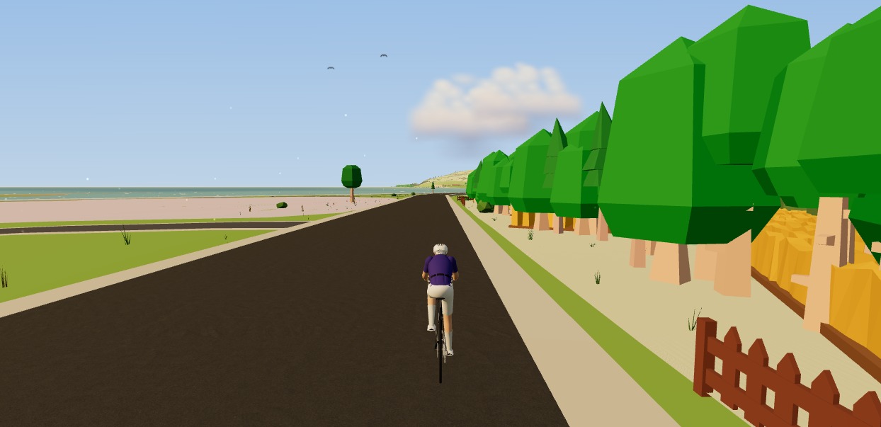
How to ride your Strava routes indoors on a smart trainer
That summer loop you love is a GPX file — so you can ride it indoors in winter. Here's how to ride your Strava routes indoors on a smart trainer, in 3D, from real map and elevation data, without installing anything.
How to ride a GPX file indoors on your smart trainer
Any route you can export as a GPX file, you can ride indoors. Here's how to turn a GPX into a 3D indoor ride on your smart trainer — with real gradients driving the resistance — straight from your browser, no install.

7 rules for building the perfect cycling route (climbs, surfaces, wind and coffee stops)
A great ride is designed, not stumbled upon. These seven rules — from riding into the wind first to matching climbs to your goal — turn any loop into a route you'll want to do again.

Gravel vs road: how to pick the right surface for every ride
Two disciplines, one love of riding. Here's an honest look at gravel vs road — the bikes, the skills, the training value — and how to choose for any given day.

The art of the coffee ride: designing routes around the perfect café stop
The coffee ride is a genre of its own — social, unhurried, and secretly good training. Here's how to design a loop around the perfect mid-ride café stop.

How to plan a cycling trip: turning a bucket-list route into a day-by-day itinerary
Dreaming of the Alps or a week of gravel? Here's how to turn a bucket-list idea into a real day-by-day cycling trip — distances, climbs, stays, food and rough costs.
The same roads backwards: why reversing a route changes the ride
The descent you know by heart is a climb you have never paced, the tailwind is now waiting for you at the wrong end, and the low winter sun is in your eyes at every junction. Why the loop you have ridden forty times is still one ride you haven't done.
Choosing safer roads: what the crash data says about route planning
Riders fear being hit from behind; the collision statistics are dominated by junctions and turning vehicles. What the research says about where risk actually concentrates, and how to turn that into a route-planning habit rather than a worry.
How to descend faster and safer: braking, lines and where to look
Descending is the cheapest free speed in cycling and the skill riders practise least. Braking and weight transfer, the line through a corner, where to put your eyes — and why target fixation puts people in ditches.
Riding in a group: the skills nobody explains to beginners
Sitting in saves a great deal of energy — the wind-tunnel and CFD work puts it higher than most riders assume. How to hold a wheel, rotate, signal and brake in a way that keeps everyone upright.

How to plan a 200 km ride (and finish it)
Two hundred kilometres is a fuelling and pacing problem long before it's a fitness one. Target intensity, carbohydrate per hour over eight hours, where to put the climbs, and where to plan the resupply.
Bikepacking route planning: water, resupply and daylight
Loaded, on unknown surfaces, your daily distance is not your road distance. How to plan around water, shops and daylight — the three things that actually decide whether a bikepacking day works.
Train, ferry, ride: building routes you can't do as a loop
A train leg turns a loop you have ridden forty times into a one-way descent through a valley you have never seen. Planning around timetables and bike reservations, the tailwind you can now guarantee, and what to do when you miss the connection.

Riding in the rain: kit, tyres and technique
Wet riding is mostly a thermoregulation problem with a braking problem attached. What keeps you warm when you're already soaked, how much braking distance you lose, and the tyre and cornering changes that matter.
How to find good roads in a place you've never ridden
Reading a map for gradient and surface, using heatmap data without following the crowd, avoiding the trunk road that looks like a shortcut, and sanity-checking a route before you commit a day to it.
Climbing technique: seated vs standing, and how to pace long climbs
Standing costs more oxygen at the same power — and is still the right choice sometimes. Gearing and cadence on a long climb, when to get out of the saddle, and how to pace twenty minutes uphill without blowing.

Winter route design: ice, shade and the roads that thaw first
In January the north-facing lane stays frozen until lunchtime and the valley bottom is colder than the hill above it. Designing routes around aspect, cold-air drainage, gritting priority and the hours of daylight you actually have.
Planning a mountain day: passes, weather windows and the descent home
The col may still be under snow in June, the storms build over the summit by early afternoon, and the 24 °C valley is 10 °C at the top before wind chill. A big mountain day is a planning problem before it is a fitness problem.
Designing a route for a group that rides at different speeds
The fast riders are cold from waiting and the slower ones are cooked from chasing. Route shapes that let a group split and rejoin without anyone feeling it, where to put the climbs, and sizing the ride to the right person.
Cycling in Mallorca: the routes, the season and what nobody tells you
Sa Calobra, the Ma-10 along the Tramuntana, and a flat middle that makes a recovery day easy. Why February to April is the season and July is not, where to base yourself, and the crowding nobody mentions in the photographs.
Cycling in Slovenia: the Alps, the Karst and the roads in between
Twenty-four hairpins to the top of Vršič, the Soča running turquoise below, and a Karst plateau where the wind has its own name. A small country with an improbable density of good roads, and how to time a trip around the passes opening.
Ready to ride with a plan?
Connect Strava and get your first three-week block today — free.
Continue with Strava