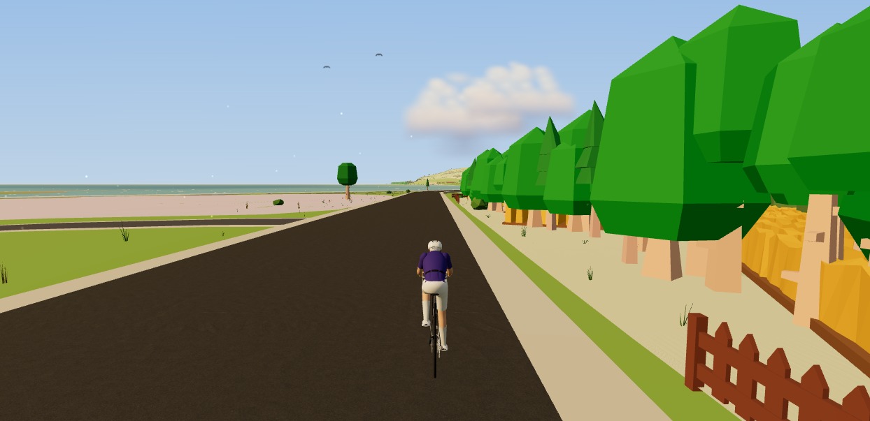
How to ride a GPX file indoors on your smart trainer
The Moveee team
Free coaching · a real route for every ride
A GPX file is just a list of points and elevations — the universal language of routes. And here's the useful consequence: if you can get a route as a GPX, you can ride it indoors on your smart trainer, in 3D, with the real gradients driving the resistance. Your favourite loop, a bucket-list climb, next month's race course — all rideable from the pain cave.
Where GPX files come from
Almost everything in cycling can hand you a GPX. A few of the usual sources:
Strava
Export any route or activity as GPX from its page.
Komoot / RideWithGPS
Both export GPX from any planned route.
Your bike computer
Garmin, Wahoo and Hammerhead all save rides as FIT/GPX you can export.
A race organiser
Most events publish the official course as a downloadable GPX.
Drawn yourself
Sketch a route on a map tool and export it.
What makes riding a GPX indoors feel real
The trick isn't just drawing the route on a screen — it's linking the route's elevation profile to your trainer's resistance. When the GPX says the road tilts to 7%, the trainer should get genuinely harder; when it drops, it should let you spin. That's what turns "a line on a map" into a ride you feel. Look for an app that reads the GPX's elevation and drives a smart trainer in simulation mode.
How to do it
- Get your GPX from any of the sources above.
- Open a browser trainer app (Chrome or Edge) and load the file.
- Pair your smart trainer over Bluetooth.
- Ride — the gradient does the rest, and the ride records with full power data.
Do it free, with nothing to install
Moveee Indoor takes a route you've drawn or imported and rebuilds it in 3D from real OpenStreetMap and elevation data — the actual streets, buildings and climbs the GPX follows — then drives your smart trainer's resistance from the real gradient as you ride. It runs entirely in the browser, it's free while in alpha, and rides save with full power data to your Moveee training plan and Strava.
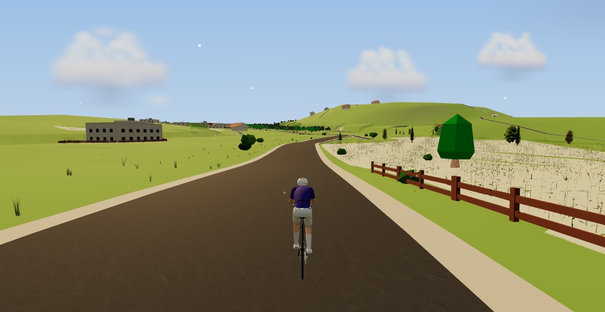
Any route you can export, you can ride. That's a lot of roads to get through this winter.
Sources 6
Where this article summarises a study, the study itself is linked — not a write-up of it.
- 1 GPX: the GPS Exchange Format (GPX 1.1 schema) · TopoGrafix · 2004
- 2 How do I export my Strava data? (Export GPX from an activity) · Strava Support · 2025
- 3 About OpenStreetMap · OpenStreetMap Foundation · 2025
- 4 Copernicus DEM — Global and European Digital Elevation Model · Copernicus Data Space Ecosystem (ESA / European Union) · 2024
- 5 Fitness Machine Service 1.0 (FTMS) specification · Bluetooth SIG · 2017
- 6 Web Bluetooth (Draft Community Group Report) · W3C Web Bluetooth Community Group · 2025
Your own roads, indoors, in a browser tab
Moveee Indoor pairs your smart trainer over Bluetooth and rebuilds a route you have saved as a 3D road — real gradients, ERG for the intervals, and the ride saved with full power data. Nothing to install. Free while it is in alpha.
Start an indoor rideKeep reading

How to plan a cycling trip: turning a bucket-list route into a day-by-day itinerary
Dreaming of the Alps or a week of gravel? Here's how to turn a bucket-list idea into a real day-by-day cycling trip — distances, climbs, stays, food and rough costs.

Choosing safer roads: what the crash data says about route planning
Riders fear being hit from behind; the collision statistics are dominated by junctions and turning vehicles. What the research says about where risk actually concentrates, and how to turn that into a route-planning habit rather than a worry.

7 rules for building the perfect cycling route (climbs, surfaces, wind and coffee stops)
A great ride is designed, not stumbled upon. These seven rules — from riding into the wind first to matching climbs to your goal — turn any loop into a route you'll want to do again.
How to ride your Strava routes indoors on a smart trainer
That summer loop you love is a GPX file — so you can ride it indoors in winter. Here's how to ride your Strava routes indoors on a smart trainer, in 3D, from real map and elevation data, without installing anything.
How to read the wind forecast for cycling (and stop riding into it both ways)
Wind costs a cyclist more than rain ever will, and the weather app's little arrow doesn't tell you what it'll do to your loop. Why headwinds punish you harder than tailwinds repay you, which way to ride your route, what 20 vs 40 km/h actually feels like, and how to plan around gusts before you clip in.

Kranjska Gora: base for the Julian Alps and the Planica valley
Vršič from the village, the car-free valley path on the old railway, Planica and the pass into Austria: a week in Kranjska Gora with the tourist board's figures and the ARSO climate

Prekmurje: Slovenia's flat corner, for the days you don't want a climb
The Mura route, 600 km of signed asphalt on the plain, and the driest climate in the country: why Prekmurje is where Slovenian riders go for long steady hours and winter miles

Ljubljana's best loops: where the locals ride from the capital
The flat Barje loop, the short hills, the Polhov Gradec lanes, Janče and Krim, with the distances from the city's own route list. What each is for, and what the basin fog does in winter.

Bikepacking route planning: water, resupply and daylight
Loaded, on unknown surfaces, your daily distance is not your road distance. How to plan around water, shops and daylight — the three things that actually decide whether a bikepacking day works.

How to use a heatmap to find roads locals actually ride
A heatmap is a map of what riders avoid as much as where they go. How it is built, what GPS route-choice research says it means, five patterns to read and a 15-minute method.

Loop, out and back, or point to point?
Most riders default to one route shape without deciding to. The shape changes what a ride is good for — and for windy days and interval sessions, the usual favourite is clearly the wrong choice.
Indoor cycling on an Android tablet or phone (in the browser)
You don't need a laptop or an app-store download to train indoors. Here's how to run a full indoor cycling app on an Android tablet or phone, straight from Chrome — pairing your smart trainer over Bluetooth, holding ERG targets and saving to Strava.